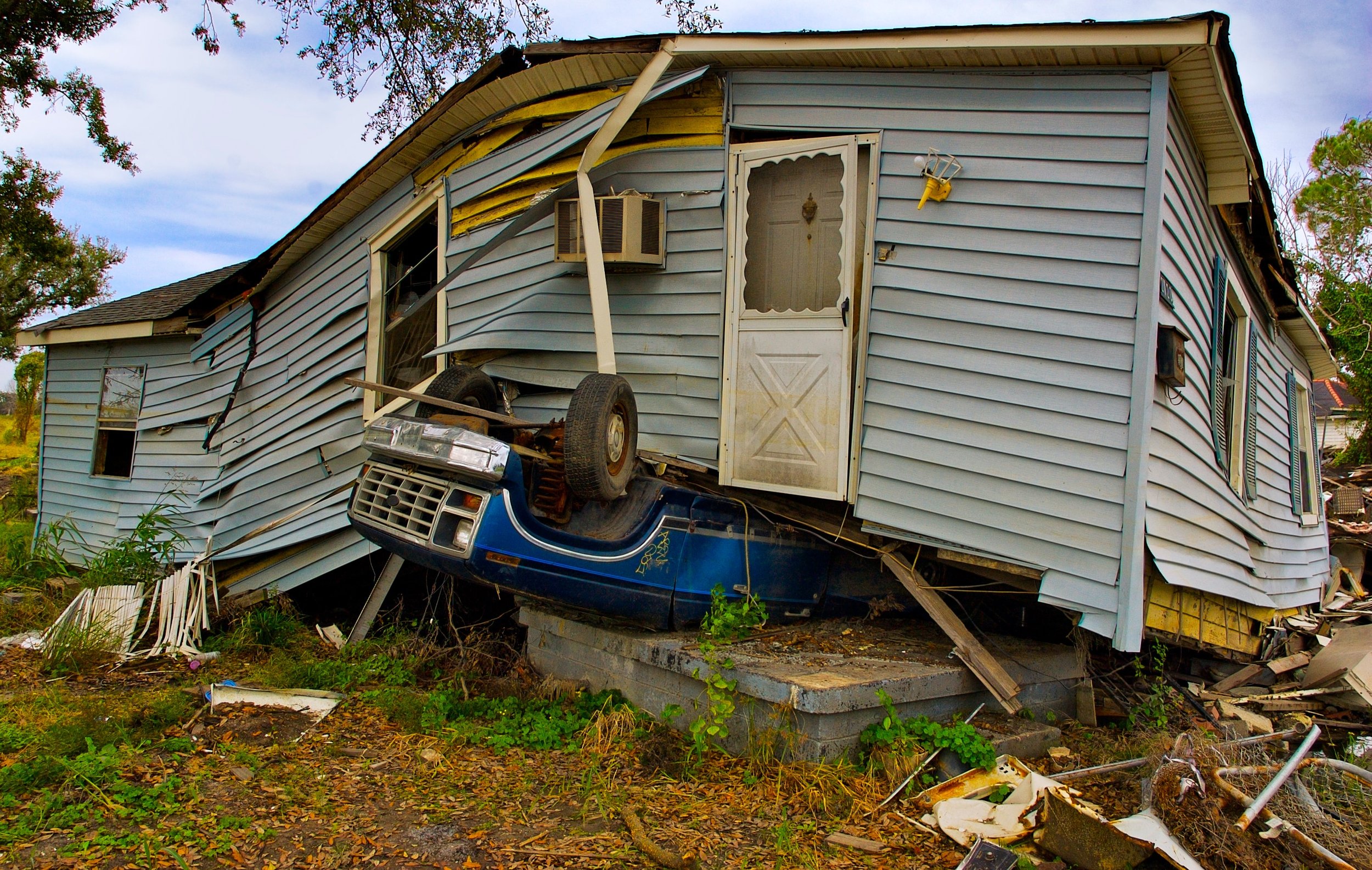
Provide the responds time and quality demanded by the insurance and inspection industry
Residential Inspections
While mapping and modeling is extremely useful in performing many tasks, raw images are also invaluable to assessors. High resolution survey data can be viewed separately to scrutinize even the smallest details. If required independently from complete construction projects, programming and flying routes specialized for inspections are quick and efficient. Information can be collected and shared remotely without visits from inspectors directly. No need for technicians to climb on roofs and place themselves in harms way. All images are time and geo stamped for verification.
Commercial Inspections
-

Survey large areas of land quickly and efficiently. The ability to cover sites that are trecherous to cross is invaluable
-

Aerial surveys can be overlaid with google maps to assist in pinpointing specific addresses and viewing changes in properties
-

Structures and sites that are too dangerous for human occupancy can be accessed for evaluation without putting human lives at risk.
-

Perform volumetrics on surveys to extract key data when planning and quoting claims and repairs
-

When remote is the definition of the task, there is no more effective means to survey a site.
-

Storms can cast debris for hundreds, even thousands of yards from their original location. Spread your search more effectively by choosing a method best suited for it.


