Don’t get left behind. Partner with Osiris and be on the leading edge of innovation
Services
-

Photography
Need to identify and document an issue to present to maintenance or outside contractors? Call Osiris. With over 2 decades of experience in the industrial sector, we understand your needs and have the experience to capture your visions and help portray your needs. We have professional equipment to gather detailed images and make sure the specifics are not left out.
-

Videography
Need to monitor a process for improvements or engineering revision? Osiris can set up remote viewing and provide HD video to help diagnose problems or create promotional content. Our videography services can be tailored to fit your needs. Set-up is quick and easy with most flight plans operations in mere minutes of arriving on site.
-

Orthomosaics
Got a project that needs UHD resolution images for engineering planning and project monitoring. Osiris can create 2D orthomosaics that can provide detail fidelity in scalable resolutions to match your project needs. Coupled with GCP (ground control points) lens distortion and GPS inaccuracies can be virtually eliminated and provide a near survey grade map across any terrain.
-

Project Progression
Utilizing highly repeatable mapping plans, a project can be surveyed repeatable and overlaid with previous surveys to demonstrate how a project has evolved across multiple phases. Even if the same technician with a different drone is required for subsequent surveys, the data is still accurate for intergration.
-

3D Orthomosaics
By implementing a similar but more data intensive method as 2D modeling, 3D renders can be created to give a more in-depth map. 3D mapping is not just limited to terrain models either. This same process can be utilized to produce models of buildings and virtually any object imaginable.
-

3D Elevation Models
Under a similar process at 3D modeling, colored elevation models can be produced. These models aid in discerning elevation details and help visualize changes in terrain or contours on models. This process is invaluable in many engineering tasks, most notable, in verifying grade of land, foundations, and piping. Eliminate the guess work and view the data in a clearer format.
-

Volumetrics
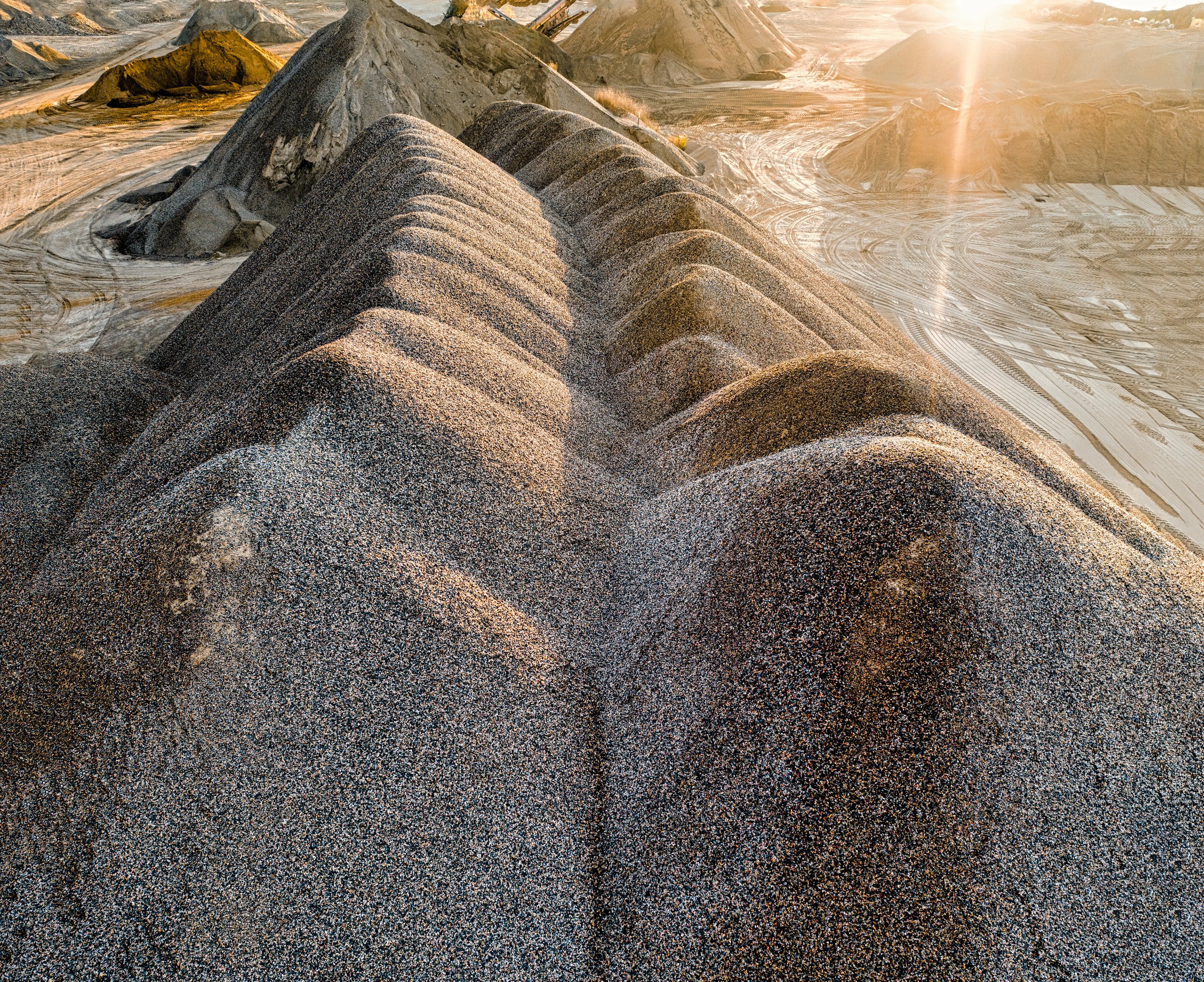
Are you wondering how much of a particular raw material you have on site, or how much product you need to fill a void? Volumetrics is your solution. By analyzing data models in 3D renders, Osiris is able to separate features from a dataset and perform fast and accurate geometric calculations. Providing your with critical data for planning and project management.
-

Inventory Management
Need to verify materials on a large scale without tying up your warehouse staff for hours or days? Allow us to partner with you to provide high resolution inventory evaluations. We can view both directly in the field via remote and transmit video stream live in 1080p.
-

Safety Evaluations
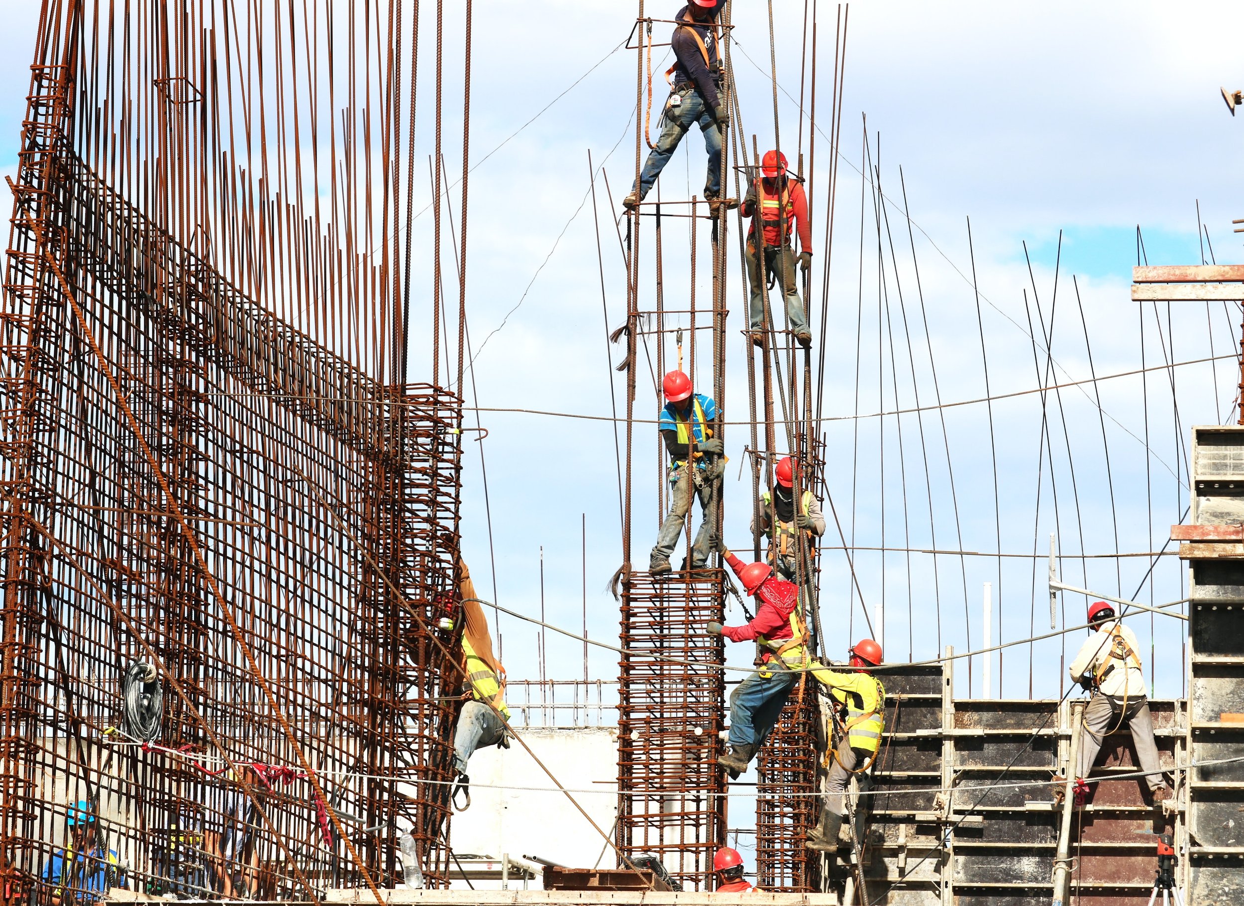
Does work shut down when SHE is on site? If you’re reading this, you know the answer is yes. It can be difficult to survey a project without directly effecting the site productivity when you arrive. With aerial evaluations, Osiris can fly remotely and record in UHD, providing your team with a critical tool to evaluate and maintain the highest safety standards.
-

Environmental Monitoring
Work with the most up-to-date data on documenting, evaluating, and monitoring environmental events. Aerial views make investigative and planning missions as effective as possible. When time is of the essence, don’t get caught in the slow lane with data collection that can’t keep up as conditions unfold.
-

Emergency Response Planning
When working to keep lives off the line. No team can afford to be a step behind. Partner with Osiris to evaluate emergency senarios, keep maps and evacuation plans up to date, and provide your emergency response team with critical information on demand.
-

Vegetation Monitoring
Not ever corner of a site or development can be easily accessed. No location is off limits to Osiris. We can provide regular inspections that help in evaluating overgrowth issues, infrastructure inefficiencies, and help point your site maintenance crews in the right direction to avoid nature over-running your site.
Inspections
Thermal Imaging
(coming soon)


